June 3, 2011
Woke up this morning to 39° outside, 51° inside. An abrupt change from yesterday’s 80°. Last night rain clouds gathered around us, the temperatures began to drop, and the combination of light drizzle along with the setting sun behind us, created a double rainbow on the horizon. At the time we thought of this as a good omen. However, after a night of chilling rain and an even chillier morning with hints of snow, we rethought our optimism.

Rainbow
The hint of snow turned into actuality! They are calling it a “wintry mix” and are expecting just under an inch of the white stuff. We ran out and purchased a portable space heater to supplement the propane heating system in the motor home. Hopefully this will keep the chill off.

Michael in the snow
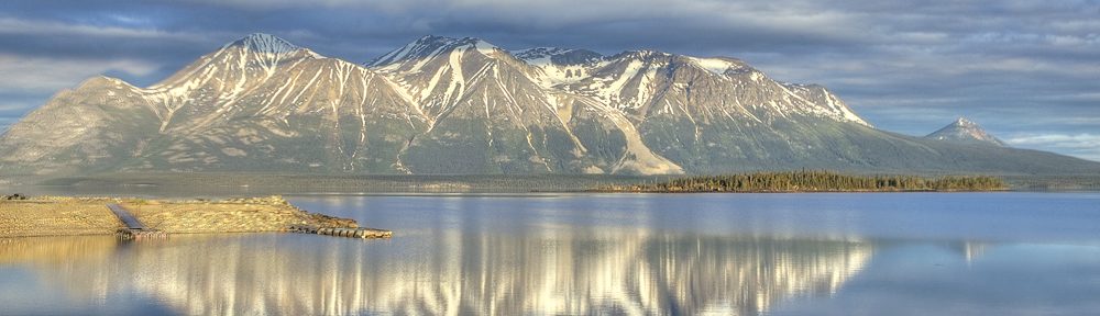
While I sit out the inclement weather, I figured I’ll give you a brief history and description of the Alaska Highway. After the bombing of Pearl Harbor on December 7, 1941, the US and Canadian governments felt that we needed a secure land transportation route to carry military goods, materials and men from the continental US to Alaska. So in March of 1942, US military engineers and construction workers converged on Dawson Creek, BC exploding the small town’s population from 600 to 10,000. In a little over 8 months the 1,528 mile road was officially completed. It consisted of 133 major bridges, 3000 culverts and cost approximately $140 million US wartime dollars. Since then it has been continuously upgraded, widened and straightened. Today the official length of the highway, which runs from Dawson Creek, BC to Delta Junction, AK is 1,390 miles.
The highway is 2 lane and winds through and past incredibly beautiful mountains and lakes. There are steep grades, high summits and unexpected changes in weather. In fact, we experienced a snowstorm in August of 1974 coming over Trutch Mountain. In 1987, the Trutch Mountain bypass was completed eliminating the trip over the second highest summit on the Alaska Highway.
Despite the weather (it was still snowing and the temperature was around 33°), we decided to go see the Kiskatinaw River Bridge, about 27 miles into the Alaska Highway. The 531 foot long curved bridge is located on the original old Alaska Hwy and is the only original timber bridge built along the highway that is still in use today. It was well worth the trip.

Kiskatinaw River Bridge

Side view of bridge

Freezing my butt off

Michael & Lily under the bridge
We’re supposed to be headed to Ft. Nelson (our nemesis if you read the 70’s blog) tomorrow morning. We’ll see how the weather is.

Backseat driver